| Item Detail |
| |
| |
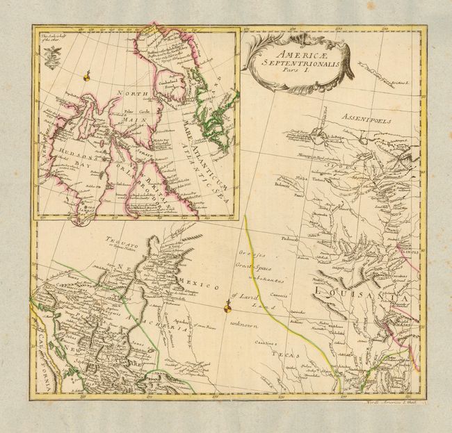
MapMaker: |
Leonhard Euler
|
|
| |
| |
Subject: |
Colonial Canada and United States |
|
| |
Period/Size: |
1753 / 13.5" x 14.5" (34.3 x 36.9 cm)
|
|
| |
Color: |
Colored
|
|
| |
Condition: |
(B) Map is trimmed to neatline and pasted to a sheet of nineteenth century French paper, probably for inclusion in a composite atlas. Scattered foxing on back sheet. Couple of printer's creases in map. (condition help) |
|
| |
Source: |
|
|
| |
References: |
|
|
| |
|
|
| Sales Information |
| |
| |
Price: |
|
|
| |
| |
Offered by: |
Old World Auctions |
|
| |
Catalog: |
Auction No. 110 - Antique Maps, Charts, Atlases & Globes (386) |
|
| |
Lot/Item #: |
105 |
|
| |
| |
Date: |
03/2005
|
|
| |
| |
|