| Item Detail |
| |
| |
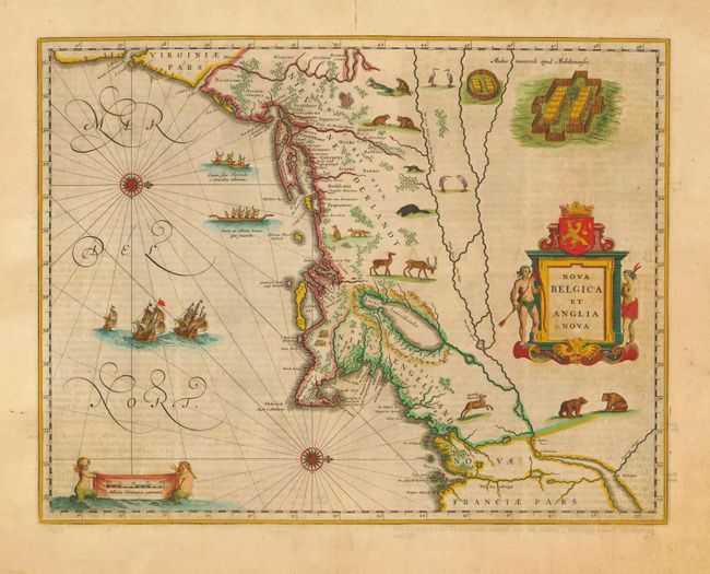
MapMaker: |
Willem Blaeu
|
|
| |
| |
Subject: |
Colonial New England |
|
| |
Period/Size: |
1662 / 15.2" x 19.7" (38.6 x 50.1 cm)
|
|
| |
Color: |
Colored
|
|
| |
Condition: |
(A) Fine impression and old color with minor toning. Expert repair of centerfold in blank margins and some chipped edges, well away from map. (condition help) |
|
| |
Source: |
Atlas maior sive Geographia |
|
| |
References: |
Burden #241; Goss (Blaeu) p. 164; Manasek #46; Van der Krogt (Atlantes) #9310:2. |
|
| |
|
|
| Sales Information |
| |
| |
Price: |
|
|
| |
| |
Offered by: |
Old World Auctions |
|
| |
Catalog: |
Auction No. 111 - Antique Maps, Charts, Atlases & Globes (387) |
|
| |
Lot/Item #: |
130 |
|
| |
| |
Date: |
06/2005
|
|
| |
| |
|