Title:
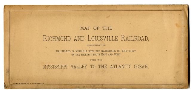
“Map of the Richmond and Louisville R.R. Connecting the Railroads of Virginia with the Railroads of Kentucky on the Shortest Route East and West from the Mississippi Valley to the Atlantic Ocean”
Map Maker:
G.W. & C.B Colton [& Co.]
This large and very detailed map delineates the ro... (full text available to subscribers)
| Item Detail |
| |
| |
MapMaker: |
G.W. & C.B Colton [& Co.]
|
|
| |
| |
Subject: |
United States - Southern |
|
| |
Period/Size: |
1882 / 25.0" x 50.0" (63.5 x 127.0 cm)
|
|
| |
Color: |
Colored
|
|
| |
Condition: |
(A+) Paper cover is lightly toned. (condition help) |
|
| |
Source: |
|
|
| |
References: |
Rumsey 1702; Modelski 546. |
|
| |
|
|
| Sales Information |
| |
| |
Price: |
|
|
| |
| |
Offered by: |
Old World Auctions |
|
| |
Catalog: |
Auction No. 110 - Antique Maps, Charts, Atlases & Globes (386) |
|
| |
Lot/Item #: |
142 |
|
| |
| |
Date: |
03/2005
|
|
| |
| |
|
Antique Maps - Valuation and Pricing, Descriptions, Resources |
|
Home |
Information |
Search |
Register |
Contact Us |
Site Map
Americana Exchange, Inc. © 1999 - 2024 Americana Exchange, Inc.. All rights reserved.
OldMaps.com, the OldMaps.com logo and
AMPR are service marks or registered service marks of Americana Exchange, Inc..
|