Title:
“Historical Atlas of Wisconsin embracing complete State and County Maps City and Village Plats, together with separate State and County Histories…”
Map Maker:
Snyder, Van Vechten & Co.
Complete and scarce atlas with stone engraved maps... (full text available to subscribers)
| Item Detail |
| |
| |
MapMaker: |
Snyder, Van Vechten & Co.
|
|
| |
| |
Subject: |
Atlases |
|
| |
Period/Size: |
1878 / 18.0" x 15.5" (45.8 x 39.4 cm)
|
|
| |
Color: |
Colored
|
|
| |
Condition: |
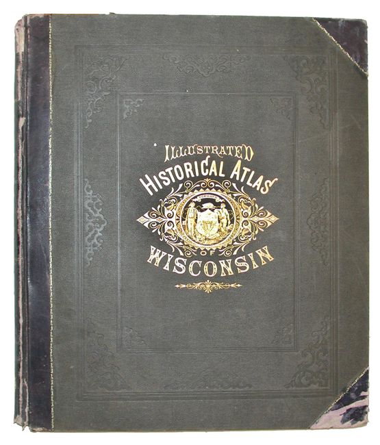
(A) Cover edges and spine are worn, rubbed and bumped. Maps and engravings are very good or fine. Binding and all signatures are very tight. (condition help) |
|
| |
Source: |
|
|
| |
References: |
Rumsey 0936. |
|
| |
|
|
| Sales Information |
| |
| |
Price: |
|
|
| |
| |
Offered by: |
Old World Auctions |
|
| |
Catalog: |
Auction No. 110 - Antique Maps, Charts, Atlases & Globes (386) |
|
| |
Lot/Item #: |
741 |
|
| |
| |
Date: |
03/2005
|
|
| |
| |
|
Antique Maps - Valuation and Pricing, Descriptions, Resources |
|
Home |
Information |
Search |
Register |
Contact Us |
Site Map
Americana Exchange, Inc. © 1999 - 2024 Americana Exchange, Inc.. All rights reserved.
OldMaps.com, the OldMaps.com logo and
AMPR are service marks or registered service marks of Americana Exchange, Inc..
|