| Item Detail |
| |
| |
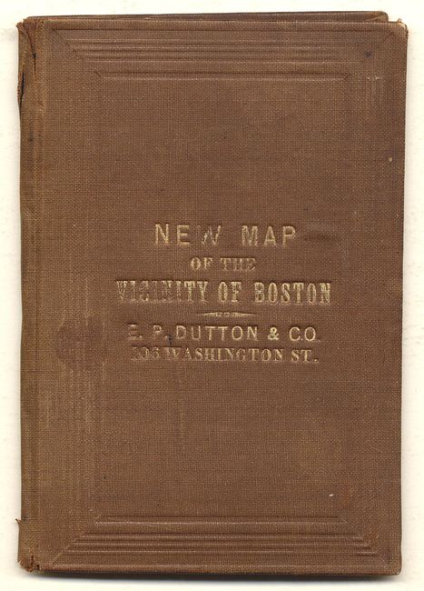
MapMaker: |
E.P. Dutton
|
|
| |
| |
Subject: |
Boston Massachusetts |
|
| |
Period/Size: |
1860 / 15.6" x 15.7" (39.7 x 39.9 cm)
|
|
| |
Color: |
Colored
|
|
| |
Condition: |
(B) Some fold intersection splits and a small area missing in upper margins, away from map. Cover sunned and with minor wear. Inside paper label with owner's name in ink. (condition help) |
|
| |
Source: |
|
|
| |
References: |
|
|
| |
|
|
| Sales Information |
| |
| |
Price: |
|
|
| |
| |
Offered by: |
Old World Auctions |
|
| |
Catalog: |
Auction No. 111 - Antique Maps, Charts, Atlases & Globes (387) |
|
| |
Lot/Item #: |
220 |
|
| |
| |
Date: |
06/2005
|
|
| |
| |
|