| Item Detail |
| |
| |
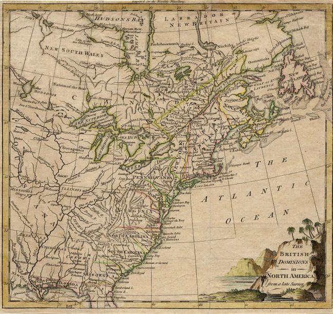
MapMaker: |
Anonymous
|
|
| |
| |
Subject: |
Colonial United States & Canada |
|
| |
Period/Size: |
1774 / 9.2" x 10.0" (23.4 x 25.4 cm)
|
|
| |
Color: |
Colored
|
|
| |
Condition: |
(B) Issued folding with narrow margins (nearly to neatline at right). Couple of tissue reinforced folds. (condition help) |
|
| |
Source: |
Monthly Miscellany |
|
| |
References: |
Jolly MONMISC-1; McCorkle #774.2. |
|
| |
|
|
| Sales Information |
| |
| |
Price: |
|
|
| |
| |
Offered by: |
Old World Auctions |
|
| |
Catalog: |
Auction No. 111 - Antique Maps, Charts, Atlases & Globes (387) |
|
| |
Lot/Item #: |
107 |
|
| |
| |
Date: |
06/2005
|
|
| |
| |
|