| Item Detail |
| |
| |
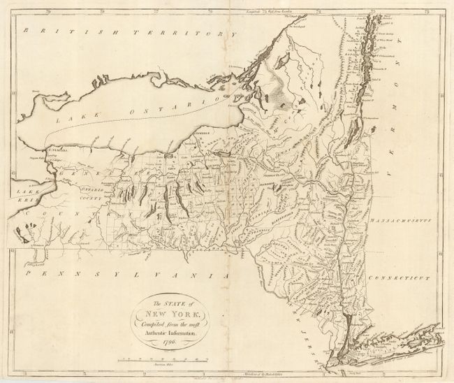
MapMaker: |
John Reid
|
|
| |
| |
Subject: |
New York |
|
| |
Period/Size: |
1796 / 15.1" x 17.9" (38.4 x 45.5 cm)
|
|
| |
Color: |
Black & White
|
|
| |
Condition: |
(B) Good impression on fine hand laid paper with large watermark of a crown and fleur-de-lis. Some areas of weakness along centerfold, professionally closed on verso. One small area of paper weakness in blank area to right. (condition help) |
|
| |
Source: |
American Atlas |
|
| |
References: |
Phillips (A) 1216-10; Wheat & Brun #371. |
|
| |
|
|
| Sales Information |
| |
| |
Price: |
|
|
| |
| |
Offered by: |
Old World Auctions |
|
| |
Catalog: |
Auction No. 111 - Antique Maps, Charts, Atlases & Globes (387) |
|
| |
Lot/Item #: |
237 |
|
| |
| |
Date: |
06/2005
|
|
| |
| |
|