| Item Detail |
| |
| |
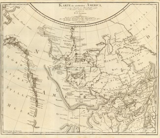
MapMaker: |
Daniel Friedrich Sotzmann
|
|
| |
| |
Subject: |
Colonial Canada & United States |
|
| |
Period/Size: |
1791 / 15.5" x 18.8" (39.4 x 47.8 cm)
|
|
| |
Color: |
Black & White
|
|
| |
Condition: |
(A+) Folding with narrow margins as issued. Slight toning at paper edges, still fine. (condition help) |
|
| |
Source: |
|
|
| |
References: |
Kershaw #491; Ristow, p.177; not listed in Wagner or Wheat. |
|
| |
|
|
| Sales Information |
| |
| |
Price: |
|
|
| |
| |
Offered by: |
Old World Auctions |
|
| |
Catalog: |
Auction No. 111 - Antique Maps, Charts, Atlases & Globes (387) |
|
| |
Lot/Item #: |
110 |
|
| |
| |
Date: |
06/2005
|
|
| |
| |
|