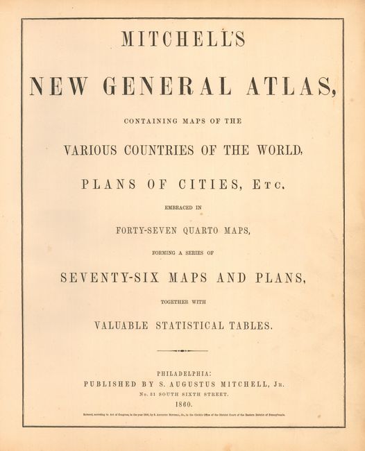
Title:
“Mitchell's New General Atlas Containing Maps of the Various Countries of the World, Plans of Cities, Etc…”
Map Maker:
Samuel Augustus Mitchell
A collection of 23 engraved maps still with covers... (full text available to subscribers)
| Item Detail |
| |
| |
MapMaker: |
Samuel Augustus Mitchell
|
|
| |
| |
Subject: |
Atlases |
|
| |
Period/Size: |
1860 / 16.0" x 13.5" (40.7 x 34.3 cm)
|
|
| |
Color: |
Colored
|
|
| |
Condition: |
(B) All maps are very good to fine, except as follows. The Pennsylvania map has a light purple pencil route drawn across, and the plans of Boston and New York have been trimmed to the neatline. Covers rough, most contents loose. (condition help) |
|
| |
Source: |
|
|
| |
References: |
|
|
| |
|
|
| Sales Information |
| |
| |
Price: |
|
|
| |
| |
Offered by: |
Old World Auctions |
|
| |
Catalog: |
Auction No. 112 - Antique Maps, Charts, Atlases & Globes (565) |
|
| |
Lot/Item #: |
789 |
|
| |
| |
Date: |
09/2005
|
|
| |
| |
|
Antique Maps - Valuation and Pricing, Descriptions, Resources |
|
Home |
Information |
Search |
Register |
Contact Us |
Site Map
Americana Exchange, Inc. © 1999 - 2024 Americana Exchange, Inc.. All rights reserved.
OldMaps.com, the OldMaps.com logo and
AMPR are service marks or registered service marks of Americana Exchange, Inc..
|