| Item Detail |
| |
| |
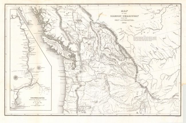
MapMaker: |
Charles Wilkes
|
|
| |
| |
Subject: |
Northwestern United States |
|
| |
Period/Size: |
1849 / 8.3" x 13.0" (21.1 x 33.1 cm)
|
|
| |
Color: |
Black & White
|
|
| |
Condition: |
(A) Printed on fine banknote paper and issued folded. Faint spot in map, still overall very good. (condition help) |
|
| |
Source: |
Narrative of the United States Exploring Expedition |
|
| |
References: |
cf Wheat (TMW) #457. |
|
| |
|
|
| Sales Information |
| |
| |
Price: |
|
|
| |
| |
Offered by: |
Old World Auctions |
|
| |
Catalog: |
Auction No. 112 - Antique Maps, Charts, Atlases & Globes (565) |
|
| |
Lot/Item #: |
202 |
|
| |
| |
Date: |
09/2005
|
|
| |
| |
|