Title:
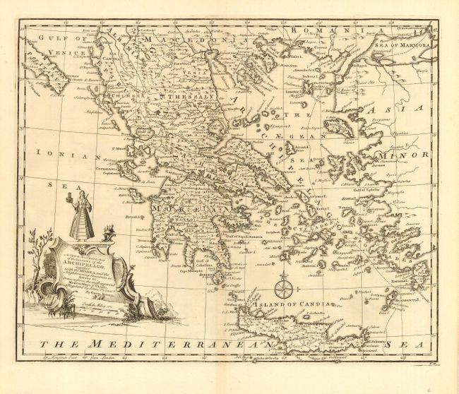
“A New & Accurate Map of the Islands of the Archipelago, together with the Morea, and the Neighboring Countries in Greece &c.”
Map Maker:
Emanuel Bowen
Beautifully engraved chart of the region that exte... (full text available to subscribers)
| Item Detail |
| |
| |
MapMaker: |
Emanuel Bowen
|
|
| |
| |
Subject: |
Balkans |
|
| |
Period/Size: |
1747 / 13.6" x 17.0" (34.6 x 43.2 cm)
|
|
| |
Color: |
Black & White
|
|
| |
Condition: |
(A+) Lovely impression on a fine sheet of hand laid paper with original margins. Faint centerfold toning. (condition help) |
|
| |
Source: |
A Complete System of Geography |
|
| |
References: |
cf Phillips (A) #614, Rumsey #3733. |
|
| |
|
|
| Sales Information |
| |
| |
Price: |
|
|
| |
| |
Offered by: |
Old World Auctions |
|
| |
Catalog: |
Auction No. 112 - Antique Maps, Charts, Atlases & Globes (565) |
|
| |
Lot/Item #: |
545 |
|
| |
| |
Date: |
09/2005
|
|
| |
| |
|
Antique Maps - Valuation and Pricing, Descriptions, Resources |
|
Home |
Information |
Search |
Register |
Contact Us |
Site Map
Americana Exchange, Inc. © 1999 - 2024 Americana Exchange, Inc.. All rights reserved.
OldMaps.com, the OldMaps.com logo and
AMPR are service marks or registered service marks of Americana Exchange, Inc..
|