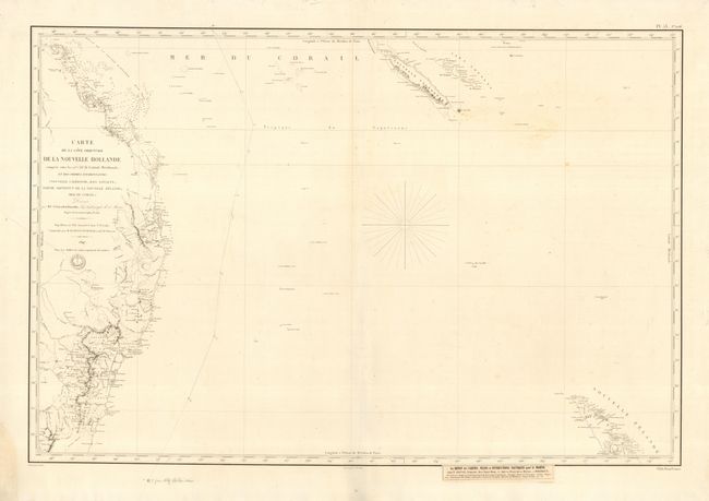
Title:
“Carte de la Cote Orientale de la Nouvelle Hollande”
Map Maker:
Depot de la Marine
Fine, large-scale sea chart detailing the eastern ... (full text available to subscribers)
| Item Detail |
| |
| |
MapMaker: |
Depot de la Marine
|
|
| |
| |
Subject: |
Australia and New Zealand |
|
| |
Period/Size: |
1847 / 23.7" x 35.0" (60.2 x 88.9 cm)
|
|
| |
Color: |
Black & White
|
|
| |
Condition: |
(B) Light general soil and a couple of wormholes. Some minor edge tears and a 2 1/2" tear into map near title, professionally repaired with Japanese tissue on verso. Course of a ship drawn in pencil and dated 1865. (condition help) |
|
| |
Source: |
|
|
| |
References: |
|
|
| |
|
|
| Sales Information |
| |
| |
Price: |
|
|
| |
| |
Offered by: |
Old World Auctions |
|
| |
Catalog: |
Auction No. 112 - Antique Maps, Charts, Atlases & Globes (565) |
|
| |
Lot/Item #: |
723 |
|
| |
| |
Date: |
09/2005
|
|
| |
| |
|
Antique Maps - Valuation and Pricing, Descriptions, Resources |
|
Home |
Information |
Search |
Register |
Contact Us |
Site Map
Americana Exchange, Inc. © 1999 - 2024 Americana Exchange, Inc.. All rights reserved.
OldMaps.com, the OldMaps.com logo and
AMPR are service marks or registered service marks of Americana Exchange, Inc..
|