| Item Detail |
| |
| |
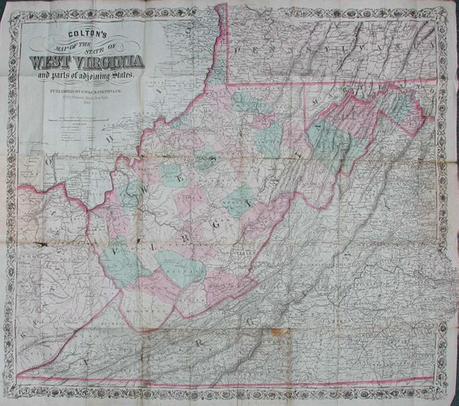
MapMaker: |
G.W. & C.B Colton [& Co.]
|
|
| |
| |
Subject: |
West Virginia |
|
| |
Period/Size: |
1869 / 23.6" x 26.5" (60.0 x 67.4 cm)
|
|
| |
Color: |
Colored
|
|
| |
Condition: |
(B) Good impression on bank note paper. Lightly soiled, with some fold intersection and fold splits. Small light yellow stain in lower portion. Covers with some wear and warping. (condition help) |
|
| |
Source: |
|
|
| |
References: |
|
|
| |
|
|
| Sales Information |
| |
| |
Price: |
|
|
| |
| |
Offered by: |
Old World Auctions |
|
| |
Catalog: |
Auction No. 112 - Antique Maps, Charts, Atlases & Globes (565) |
|
| |
Lot/Item #: |
297 |
|
| |
| |
Date: |
09/2005
|
|
| |
| |
|