Title:
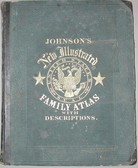
“Johnson's New Illustrated Family Atlas with physical geography, and with descriptions Geographical, Statistical, and Historical, including the Latest Federal Census..and History of the Civil War in America”
Map Maker:
Johnson & Browning
A complete large folio atlas in very nice conditio... (full text available to subscribers)
| Item Detail |
| |
| |
MapMaker: |
Johnson & Browning
|
|
| |
| |
Subject: |
Atlases |
|
| |
Period/Size: |
1862 / 18.5" x 15.0" (47.0 x 38.1 cm)
|
|
| |
Color: |
Colored
|
|
| |
Condition: |
(A) Maps are generally clean with crisp impressions and fine original coloring, condition is very good to fine. Just a couple with light occasional spots. All signatures are tight. Covers rubbed, worn and bumped: will benefit from rebinding. (condition help) |
|
| |
Source: |
|
|
| |
References: |
|
|
| |
|
|
| Sales Information |
| |
| |
Price: |
|
|
| |
| |
Offered by: |
Old World Auctions |
|
| |
Catalog: |
Auction No. 112 - Antique Maps, Charts, Atlases & Globes (565) |
|
| |
Lot/Item #: |
790 |
|
| |
| |
Date: |
09/2005
|
|
| |
| |
|
Antique Maps - Valuation and Pricing, Descriptions, Resources |
|
Home |
Information |
Search |
Register |
Contact Us |
Site Map
Americana Exchange, Inc. © 1999 - 2024 Americana Exchange, Inc.. All rights reserved.
OldMaps.com, the OldMaps.com logo and
AMPR are service marks or registered service marks of Americana Exchange, Inc..
|