| Item Detail |
| |
| |
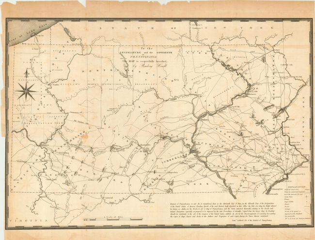
MapMaker: |
Reading Howell
|
|
| |
| |
Subject: |
Pennsylvania |
|
| |
Period/Size: |
1834 / 17.7" x 26.0" (45.0 x 66.1 cm)
|
|
| |
Color: |
Black & White
|
|
| |
Condition: |
(B) Binding trim at left, nearly to lower third of neatline. Archival tape reinforced fold intersections and repair of a 5" binding tear. Paper is fragile at edges where there is some chipping. Bit of scattered foxing in map. (condition help) |
|
| |
Source: |
American State Papers, Vol. 1 |
|
| |
References: |
cf Wheat & Brun 443; Phillips (M) pp. 678-79. |
|
| |
|
|
| Sales Information |
| |
| |
Price: |
|
|
| |
| |
Offered by: |
Old World Auctions |
|
| |
Catalog: |
Auction No. 112 - Antique Maps, Charts, Atlases & Globes (565) |
|
| |
Lot/Item #: |
278 |
|
| |
| |
Date: |
09/2005
|
|
| |
| |
|