| Item Detail |
| |
| |
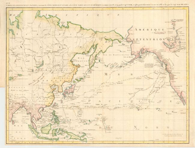
MapMaker: |
John Meares
|
|
| |
| |
Subject: |
North Pacific Ocean |
|
| |
Period/Size: |
1794 / 17.3" x 22.5" (44.0 x 57.2 cm)
|
|
| |
Color: |
Colored
|
|
| |
Condition: |
(B) Issued folded, now pressed. Normal binding trim at left with adequate margin for framing. Bit of faint foxing. (condition help) |
|
| |
Source: |
Voyages de la Chine |
|
| |
References: |
Hayes pp. 59-61; Kershaw #1172; Wagner #759. |
|
| |
|
|
| Sales Information |
| |
| |
Price: |
|
|
| |
| |
Offered by: |
Old World Auctions |
|
| |
Catalog: |
Auction No. 113 - Antique Maps, Charts, Atlases & Globes (566) |
|
| |
Lot/Item #: |
800 |
|
| |
| |
Date: |
12/2005
|
|
| |
| |
|