| Item Detail |
| |
| |
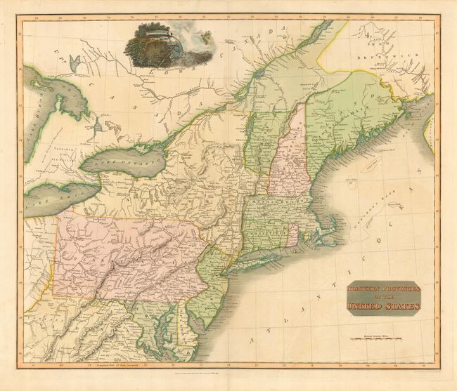
MapMaker: |
John Thomson [& Co.]
|
|
| |
| |
Subject: |
Northeastern United States |
|
| |
Period/Size: |
1817 / 19.3" x 23.0" (49.1 x 58.5 cm)
|
|
| |
Color: |
Colored
|
|
| |
Condition: |
(A) Original color in map with some color added to vignette and title block. Short fold separation in bottom margin, repaired on verso. Bit of very faint offsetting, still very good. (condition help) |
|
| |
Source: |
New General Atlas |
|
| |
References: |
|
|
| |
|
|
| Sales Information |
| |
| |
Price: |
|
|
| |
| |
Offered by: |
Old World Auctions |
|
| |
Catalog: |
Auction No. 113 - Antique Maps, Charts, Atlases & Globes (566) |
|
| |
Lot/Item #: |
170 |
|
| |
| |
Date: |
12/2005
|
|
| |
| |
|