| Item Detail |
| |
| |
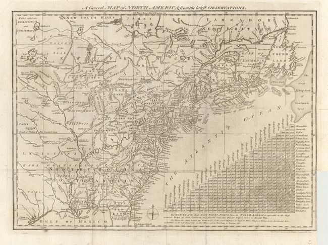
MapMaker: |
John Lodge
|
|
| |
| |
Subject: |
Colonial United States and Canada |
|
| |
Period/Size: |
1778 / 11.0" x 15.0" (28.0 x 38.1 cm)
|
|
| |
Color: |
Black & White
|
|
| |
Condition: |
(B) Folding as issued. With a little surface soiling, and some soft folds, else very good. Binding trim at lower right, as issued. (condition help) |
|
| |
Source: |
The North American Gazzetteer |
|
| |
References: |
McCorkle #776.15; Sellers & Van Ee #160. |
|
| |
|
|
| Sales Information |
| |
| |
Price: |
|
|
| |
| |
Offered by: |
Old World Auctions |
|
| |
Catalog: |
Auction No. 113 - Antique Maps, Charts, Atlases & Globes (566) |
|
| |
Lot/Item #: |
142 |
|
| |
| |
Date: |
12/2005
|
|
| |
| |
|