| Item Detail |
| |
| |
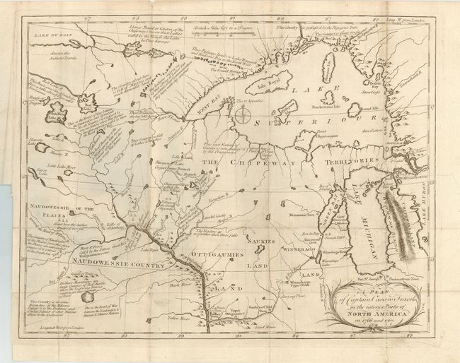
MapMaker: |
Jonathan Carver
|
|
| |
| |
Subject: |
Central United States - Great Lakes |
|
| |
Period/Size: |
1781 / 10.5" x 13.5" (26.7 x 34.3 cm)
|
|
| |
Color: |
Black & White
|
|
| |
Condition: |
(B) Folding, as issued. Good impression on thick hand laid paper. A little surface soiling and a couple fold intersection splits, closed on verso with archival tape. More soiling at some fold edges. (condition help) |
|
| |
Source: |
Travels Through The Interior Parts Of North America… |
|
| |
References: |
Rumsey #5915. |
|
| |
|
|
| Sales Information |
| |
| |
Price: |
|
|
| |
| |
Offered by: |
Old World Auctions |
|
| |
Catalog: |
Auction No. 113 - Antique Maps, Charts, Atlases & Globes (566) |
|
| |
Lot/Item #: |
194 |
|
| |
| |
Date: |
12/2005
|
|
| |
| |
|