| Item Detail |
| |
| |
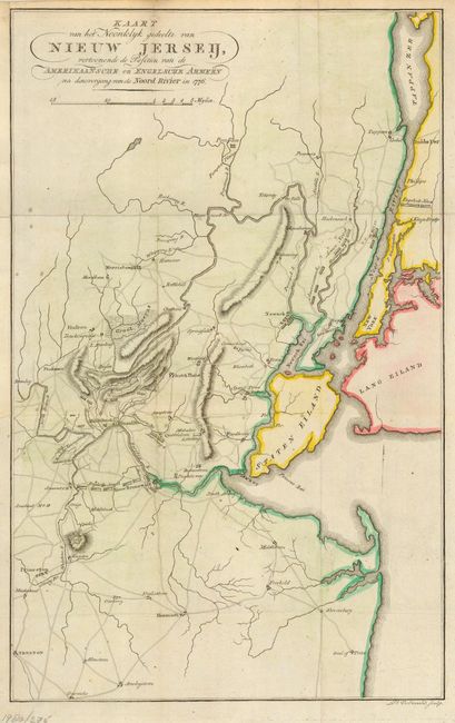
MapMaker: |
John Marshall
|
|
| |
| |
Subject: |
New Jersey and New York |
|
| |
Period/Size: |
1809 / 15.6" x 10.0" (39.7 x 25.4 cm)
|
|
| |
Color: |
Colored
|
|
| |
Condition: |
(B) Issued folded, now pressed. Trimmed for binding and remargined to accommodate framing. Bit of minor soil, else very good. (condition help) |
|
| |
Source: |
Het Leven van George Washington… |
|
| |
References: |
Fite & Freeman #66 (English edition). |
|
| |
|
|
| Sales Information |
| |
| |
Price: |
|
|
| |
| |
Offered by: |
Old World Auctions |
|
| |
Catalog: |
Auction No. 113 - Antique Maps, Charts, Atlases & Globes (566) |
|
| |
Lot/Item #: |
257 |
|
| |
| |
Date: |
12/2005
|
|
| |
| |
|