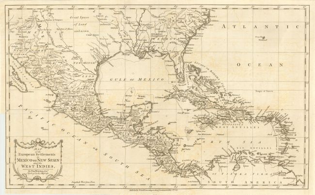
Title:
“Map of the European Settlements in Mexico or New Spain and the West Indies”
Map Maker:
Thomas Kitchin
This detailed and expansive map covers all of the ... (full text available to subscribers)
| Item Detail |
| |
| |
MapMaker: |
Thomas Kitchin
|
|
| |
| |
Subject: |
Caribbean |
|
| |
Period/Size: |
1783 / 12.0" x 20.0" (30.5 x 50.8 cm)
|
|
| |
Color: |
Black & White
|
|
| |
Condition: |
(B) Very nice impression on a sheet of hand laid paper. Some very light offsetting visible in blank areas and two tiny fold intersection splits visible when held to light. Three short fold separations closed with archival tape. Binding trim lower left. (condition help) |
|
| |
Source: |
Robertson's History of America |
|
| |
References: |
|
|
| |
|
|
| Sales Information |
| |
| |
Price: |
|
|
| |
| |
Offered by: |
Old World Auctions |
|
| |
Catalog: |
Auction No. 114 - Antique Maps, Charts, Atlases & Globes (567) |
|
| |
Lot/Item #: |
309 |
|
| |
| |
Date: |
03/2006
|
|
| |
| |
|
Antique Maps - Valuation and Pricing, Descriptions, Resources |
|
Home |
Information |
Search |
Register |
Contact Us |
Site Map
Americana Exchange, Inc. © 1999 - 2024 Americana Exchange, Inc.. All rights reserved.
OldMaps.com, the OldMaps.com logo and
AMPR are service marks or registered service marks of Americana Exchange, Inc..
|