Title:
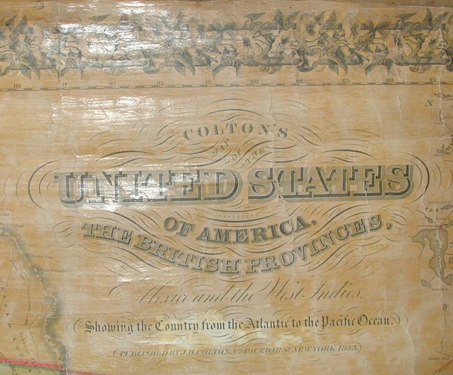
“Colton's Map of the United States of America, The British Provinces, Mexico and the West Indies, Showing the Country from the Atlantic to the Pacific Ocean.”
Map Maker:
Joseph Hutchins Colton
Wheat states that this new edition "creditably inc... (full text available to subscribers)
| Item Detail |
| |
| |
MapMaker: |
Joseph Hutchins Colton
|
|
| |
| |
Subject: |
North America |
|
| |
Period/Size: |
1853 / 50.5" x 57.0" (128.3 x 144.8 cm)
|
|
| |
Color: |
Colored
|
|
| |
Condition: |
(B) Map is very sound with no serious flaws or missing image. Varnish with some darkening. Couple of marginal tears. Water stain extends across top and a bit lower in the area of the Maritime Provinces, else very good. (condition help) |
|
| |
Source: |
|
|
| |
References: |
Wheat (TMW) #776. |
|
| |
|
|
| Sales Information |
| |
| |
Price: |
|
|
| |
| |
Offered by: |
Old World Auctions |
|
| |
Catalog: |
Auction No. 114 - Antique Maps, Charts, Atlases & Globes (567) |
|
| |
Lot/Item #: |
102 |
|
| |
| |
Date: |
03/2006
|
|
| |
| |
|
Antique Maps - Valuation and Pricing, Descriptions, Resources |
|
Home |
Information |
Search |
Register |
Contact Us |
Site Map
Americana Exchange, Inc. © 1999 - 2024 Americana Exchange, Inc.. All rights reserved.
OldMaps.com, the OldMaps.com logo and
AMPR are service marks or registered service marks of Americana Exchange, Inc..
|