| Item Detail |
| |
| |
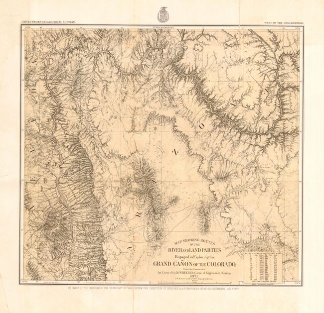
MapMaker: |
George M. Wheeler
|
|
| |
| |
Subject: |
Southwestern United States - Arizona and Nevada |
|
| |
Period/Size: |
1871 / 15.0" x 16.3" (38.1 x 41.4 cm)
|
|
| |
Color: |
Black & White
|
|
| |
Condition: |
(A) Folding, as issued, with full margins. A little light marginal foxing, soft fold at lower left corner. Map image is very good. (condition help) |
|
| |
Source: |
US Geographical Surveys |
|
| |
References: |
Wheat [TMW] #1292. |
|
| |
|
|
| Sales Information |
| |
| |
Price: |
|
|
| |
| |
Offered by: |
Old World Auctions |
|
| |
Catalog: |
Auction No. 114 - Antique Maps, Charts, Atlases & Globes (567) |
|
| |
Lot/Item #: |
198 |
|
| |
| |
Date: |
03/2006
|
|
| |
| |
|