| Item Detail |
| |
| |
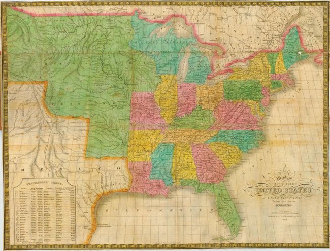
MapMaker: |
C.S. Williams
|
|
| |
| |
Subject: |
United States - Eastern |
|
| |
Period/Size: |
1834 / 16.2" x 22.0" (41.2 x 55.9 cm)
|
|
| |
Color: |
Colored
|
|
| |
Condition: |
(B) Map with fine color and beautiful impression. A little scattered foxing & fold intersection splits, one with small loss in Maine. Traveler's Directory with scattered foxing a fold split at left and a couple of edge chips. Covers worn. (condition help) |
|
| |
Source: |
|
|
| |
References: |
Streeter No. 3847. |
|
| |
|
|
| Sales Information |
| |
| |
Price: |
|
|
| |
| |
Offered by: |
Old World Auctions |
|
| |
Catalog: |
Auction No. 114 - Antique Maps, Charts, Atlases & Globes (567) |
|
| |
Lot/Item #: |
150 |
|
| |
| |
Date: |
03/2006
|
|
| |
| |
|