| Item Detail |
| |
| |
MapMaker: |
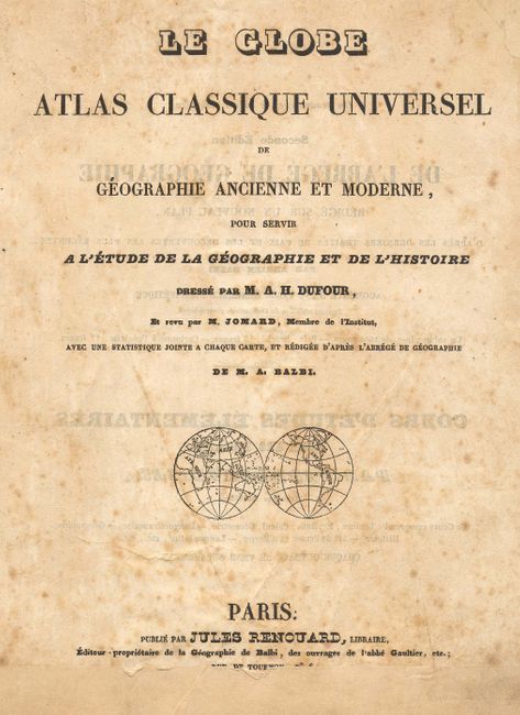
Auguste-Henri Dufour
|
|
| |
| |
Subject: |
Atlases |
|
| |
Period/Size: |
1828 / 10.0" x 9.0" (25.4 x 22.9 cm)
|
|
| |
Color: |
Colored
|
|
| |
Condition: |
(B) Signatures are tight but separated from cover. Cover nearly separated at front from spine. Fine, light scattered foxing on most pages. Ancient map of the Roman Empire is missing paper at lower centerfold well into map. (condition help) |
|
| |
Source: |
|
|
| |
References: |
|
|
| |
|
|
| Sales Information |
| |
| |
Price: |
|
|
| |
| |
Offered by: |
Old World Auctions |
|
| |
Catalog: |
Auction No. 114 - Antique Maps, Charts, Atlases & Globes (567) |
|
| |
Lot/Item #: |
725 |
|
| |
| |
Date: |
03/2006
|
|
| |
| |
|