Title:
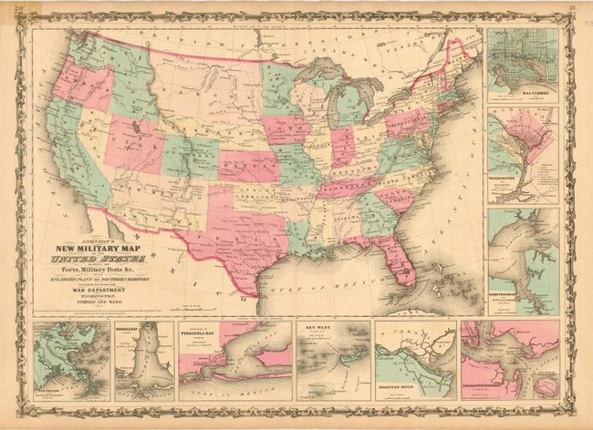
“Johnson's New Military Map of the United States Showing the Forts, Military Posts &c with Enlarged Plans of Southern Harbors”
Map Maker:
Johnson & Ward
This is the more desirable issue of this Civil ... (full text available to subscribers)
| Item Detail |
| |
| |
MapMaker: |
Johnson & Ward
|
|
| |
| |
Subject: |
United States |
|
| |
Period/Size: |
1861 / 17.0" x 23.5" (43.2 x 59.7 cm)
|
|
| |
Color: |
Colored
|
|
| |
Condition: |
(B) Fine impression and great original coloring. Map image is very good, with exception of old tape repair on verso to close short tear just to border. The repair has discolored the map at the upper left border. Split at top centerfold. (condition help) |
|
| |
Source: |
Illustrated Family Atlas of the World |
|
| |
References: |
|
|
| |
|
|
| Sales Information |
| |
| |
Price: |
|
|
| |
| |
Offered by: |
Old World Auctions |
|
| |
Catalog: |
Auction No. 114 - Antique Maps, Charts, Atlases & Globes (567) |
|
| |
Lot/Item #: |
137 |
|
| |
| |
Date: |
03/2006
|
|
| |
| |
|
Antique Maps - Valuation and Pricing, Descriptions, Resources |
|
Home |
Information |
Search |
Register |
Contact Us |
Site Map
Americana Exchange, Inc. © 1999 - 2024 Americana Exchange, Inc.. All rights reserved.
OldMaps.com, the OldMaps.com logo and
AMPR are service marks or registered service marks of Americana Exchange, Inc..
|