| Item Detail |
| |
| |
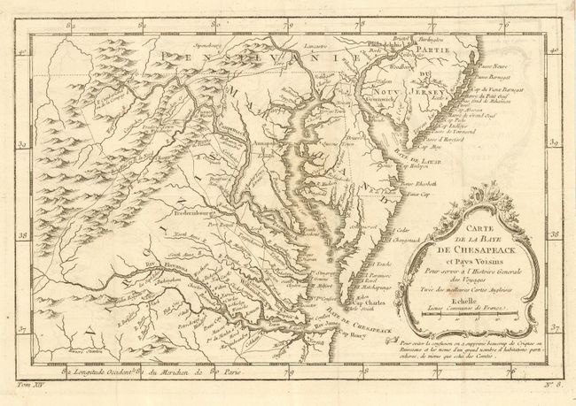
MapMaker: |
Jacques Nicolas Bellin
|
|
| |
| |
Subject: |
Colonial Mid Atlantic |
|
| |
Period/Size: |
1773 / 7.5" x 11.4" (19.1 x 29.0 cm)
|
|
| |
Color: |
Black & White
|
|
| |
Condition: |
(B) Good impression with slight, easily erased, offsetting. Folding, as issued. Fine hand laid paper with adequate margins. Small foxing spot in cartouche. Two small fragments of hinging tape on verso from previous framing. (condition help) |
|
| |
Source: |
La Petit Atlas Maritime |
|
| |
References: |
|
|
| |
|
|
| Sales Information |
| |
| |
Price: |
|
|
| |
| |
Offered by: |
Old World Auctions |
|
| |
Catalog: |
Auction No. 114 - Antique Maps, Charts, Atlases & Globes (567) |
|
| |
Lot/Item #: |
159 |
|
| |
| |
Date: |
03/2006
|
|
| |
| |
|