Title:
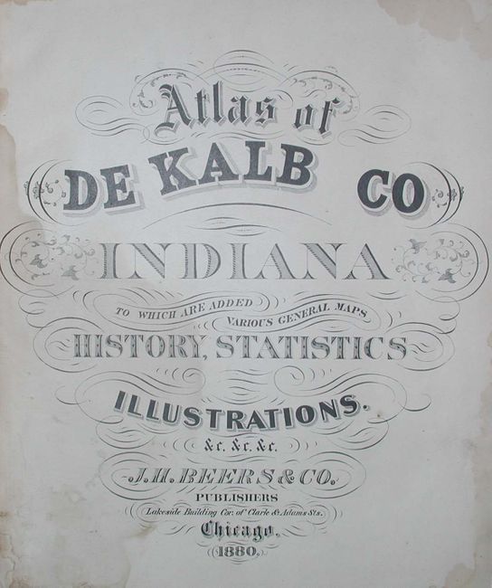
“Atlas of De Kalb Co Indiana To Which Are Added Various General Maps History, Statistics Illustrations. &c. &c. &c.”
Map Maker:
J.H. Beers & Co.
A very nice, complete folio county atlas of the st... (full text available to subscribers)
| Item Detail |
| |
| |
MapMaker: |
J.H. Beers & Co.
|
|
| |
| |
Subject: |
Atlases, Indiana |
|
| |
Period/Size: |
1880 / 17.0" x 14.5" (43.2 x 36.9 cm)
|
|
| |
Color: |
Colored
|
|
| |
Condition: |
(B) Rebound in black cloth with new end papers. Some mold on the last few pages that effects the U.S. and world map, and to a lesser degree the Indiana map. Three pages have full tears across map or view, closed with tape. (condition help) |
|
| |
Source: |
|
|
| |
References: |
|
|
| |
|
|
| Sales Information |
| |
| |
Price: |
|
|
| |
| |
Offered by: |
Old World Auctions |
|
| |
Catalog: |
Auction No. 114 - Antique Maps, Charts, Atlases & Globes (567) |
|
| |
Lot/Item #: |
732 |
|
| |
| |
Date: |
03/2006
|
|
| |
| |
|
Antique Maps - Valuation and Pricing, Descriptions, Resources |
|
Home |
Information |
Search |
Register |
Contact Us |
Site Map
Americana Exchange, Inc. © 1999 - 2024 Americana Exchange, Inc.. All rights reserved.
OldMaps.com, the OldMaps.com logo and
AMPR are service marks or registered service marks of Americana Exchange, Inc..
|