| Item Detail |
| |
| |
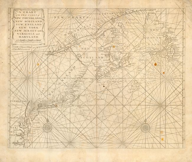
MapMaker: |
John Thornton
|
|
| |
| |
Subject: |
Colonial United States and Canada |
|
| |
Period/Size: |
1770 / 17.8" x 23.0" (45.3 x 58.5 cm)
|
|
| |
Color: |
Black & White
|
|
| |
Condition: |
(B) Wide margins. Soiled with some spots of candle wax and a couple of worm holes. Backed with Japanese tissue repairing marginal fold separations. (condition help) |
|
| |
Source: |
English Pilot |
|
| |
References: |
McCorkle #698.6; Sellers and Van Ee #199. |
|
| |
|
|
| Sales Information |
| |
| |
Price: |
|
|
| |
| |
Offered by: |
Old World Auctions |
|
| |
Catalog: |
Auction No. 114 - Antique Maps, Charts, Atlases & Globes (567) |
|
| |
Lot/Item #: |
121 |
|
| |
| |
Date: |
03/2006
|
|
| |
| |
|