| Item Detail |
| |
| |
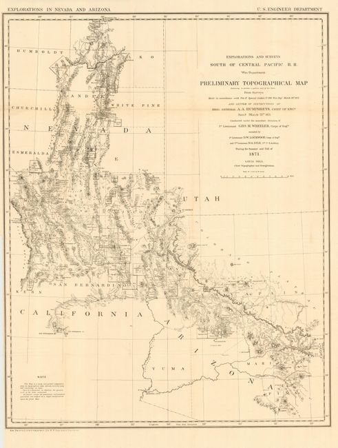
MapMaker: |
George M. Wheeler
|
|
| |
| |
Subject: |
Southwestern United States |
|
| |
Period/Size: |
1871 / 28.5" x 22.0" (72.4 x 55.9 cm)
|
|
| |
Color: |
Black & White
|
|
| |
Condition: |
(A) Issued folding, now pressed and backed with archival tissue. Very light toning at one fold and a couple tiny losses of paper at folds, else fine. (condition help) |
|
| |
Source: |
Sen. Doc 65, 45th Cong. 2nd Sess. |
|
| |
References: |
Koepp 1479; Wheat [TMW] 1237. |
|
| |
|
|
| Sales Information |
| |
| |
Price: |
|
|
| |
| |
Offered by: |
Old World Auctions |
|
| |
Catalog: |
Auction No. 114 - Antique Maps, Charts, Atlases & Globes (567) |
|
| |
Lot/Item #: |
199 |
|
| |
| |
Date: |
03/2006
|
|
| |
| |
|