| Item Detail |
| |
| |
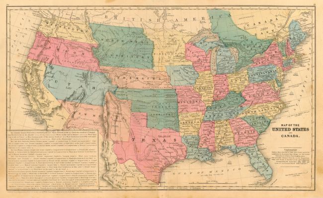
MapMaker: |
Roswell Chamberlain Smith [& Co.]
|
|
| |
| |
Subject: |
United States |
|
| |
Period/Size: |
1853 / 10.5" x 17.6" (26.7 x 44.7 cm)
|
|
| |
Color: |
Colored
|
|
| |
Condition: |
(B) Original coloring and good impression. Some light surface soiling or toning, mostly in lower right center, two marginal tears near centerfold at bottom that enter border, and a series of tiny holes at centerfold visible when held to a strong light. (condition help) |
|
| |
Source: |
Smith's Quarto Geography |
|
| |
References: |
|
|
| |
|
|
| Sales Information |
| |
| |
Price: |
|
|
| |
| |
Offered by: |
Old World Auctions |
|
| |
Catalog: |
Auction No. 114 - Antique Maps, Charts, Atlases & Globes (567) |
|
| |
Lot/Item #: |
132 |
|
| |
| |
Date: |
03/2006
|
|
| |
| |
|