| Item Detail |
| |
| |
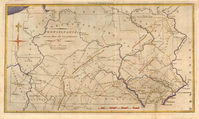
MapMaker: |
Jedidiah Morse
|
|
| |
| |
Subject: |
Pennsylvania |
|
| |
Period/Size: |
1796 / 7.5" x 13.0" (19.1 x 33.1 cm)
|
|
| |
Color: |
Colored
|
|
| |
Condition: |
(B) There is printer's ink residue covering the entire map. There has been an attempt to clean this residue resulting in abrasion of some of the engraving with a few lines of facsimile. (condition help) |
|
| |
Source: |
The American Universal Geography, 3rd edition |
|
| |
References: |
Wheat & Brun #446. |
|
| |
|
|
| Sales Information |
| |
| |
Price: |
|
|
| |
| |
Offered by: |
Old World Auctions |
|
| |
Catalog: |
Auction No. 114 - Antique Maps, Charts, Atlases & Globes (567) |
|
| |
Lot/Item #: |
267 |
|
| |
| |
Date: |
03/2006
|
|
| |
| |
|