| Item Detail |
| |
| |
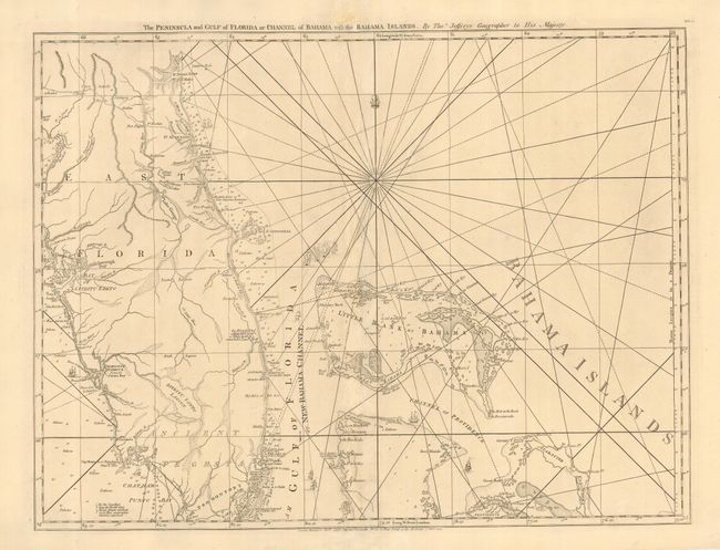
MapMaker: |
Thomas Jefferys
|
|
| |
| |
Subject: |
Colonial Florida & Bahamas |
|
| |
Period/Size: |
1775 / 19.0" x 24.5" (48.3 x 62.3 cm)
|
|
| |
Color: |
Black & White
|
|
| |
Condition: |
(B) Fine impression printed on sturdy paper. Some minor repairs near centerfold, including a bit of facsimile of a couple of Rhumb lines. The imprint at bottom was lightly printed and has been traced over in blank ink. (condition help) |
|
| |
Source: |
West India Atlas |
|
| |
References: |
Sellers & Van Ee #1608; Stevens & Tree #26. |
|
| |
|
|
| Sales Information |
| |
| |
Price: |
|
|
| |
| |
Offered by: |
Old World Auctions |
|
| |
Catalog: |
Auction No. 114 - Antique Maps, Charts, Atlases & Globes (567) |
|
| |
Lot/Item #: |
226 |
|
| |
| |
Date: |
03/2006
|
|
| |
| |
|