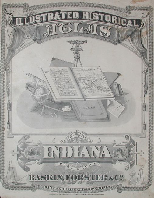
Title:
“Illustrated Historical Atlas of the State of Indiana”
Map Maker:
Baskin, Forster & Company
Complete and scarce folio atlas, apparently the on... (full text available to subscribers)
| Item Detail |
| |
| |
MapMaker: |
Baskin, Forster & Company
|
|
| |
| |
Subject: |
Atlases, Indiana |
|
| |
Period/Size: |
1876 / 17.8" x 15.0" (45.3 x 38.1 cm)
|
|
| |
Color: |
Colored
|
|
| |
Condition: |
(B) Covers rubbed with a little soiling. Contents generally very good with occasional light foxing primarily in margins. Signatures tight except for the last few pages in the Business Directory with misfolding. End free page missing. (condition help) |
|
| |
Source: |
|
|
| |
References: |
Philips (A) 1599. |
|
| |
|
|
| Sales Information |
| |
| |
Price: |
|
|
| |
| |
Offered by: |
Old World Auctions |
|
| |
Catalog: |
Auction No. 114 - Antique Maps, Charts, Atlases & Globes (567) |
|
| |
Lot/Item #: |
730 |
|
| |
| |
Date: |
03/2006
|
|
| |
| |
|
Antique Maps - Valuation and Pricing, Descriptions, Resources |
|
Home |
Information |
Search |
Register |
Contact Us |
Site Map
Americana Exchange, Inc. © 1999 - 2024 Americana Exchange, Inc.. All rights reserved.
OldMaps.com, the OldMaps.com logo and
AMPR are service marks or registered service marks of Americana Exchange, Inc..
|