| Item Detail |
| |
| |
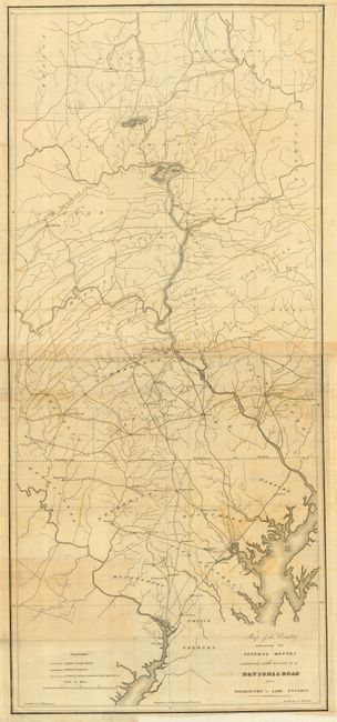
MapMaker: |
U.S. War Department
|
|
| |
| |
Subject: |
United States - Eastern |
|
| |
Period/Size: |
1829 / unknown
|
|
| |
Color: |
Black & White
|
|
| |
Condition: |
(B) Both maps were issued folding and are now backed with archival tissue and pressed. Both with some toning or stains and some offsetting, more so on the untitled sheet. (condition help) |
|
| |
Source: |
House Doc. 38, 20th Cong., 2nd Sess. |
|
| |
References: |
Claussen & Friis # 15 |
|
| |
|
|
| Sales Information |
| |
| |
Price: |
|
|
| |
| |
Offered by: |
Old World Auctions |
|
| |
Catalog: |
Auction No. 115 - Antique Maps, Charts, Atlases & Globes (568) |
|
| |
Lot/Item #: |
165 |
|
| |
| |
Date: |
06/2006
|
|
| |
| |
|