Rister or Sign In to see pricing information


Title:

The World's Industrial and Cotton Centennial Exposition… Plan No. 2 Map of the City of New Orleans Showing Location of Exposition Grounds…

Map Maker:

Anonymous

The World's Industrial and Cotton Centennial Exposition… Plan No. 2 Map of the City of New Orleans Showing Location of Exposition Grounds…

Large, lithographed pocket map that is linen backe... (full text available to subscribers)
Item Detail
 
  MapMaker:  

Anonymous


  Subject:  
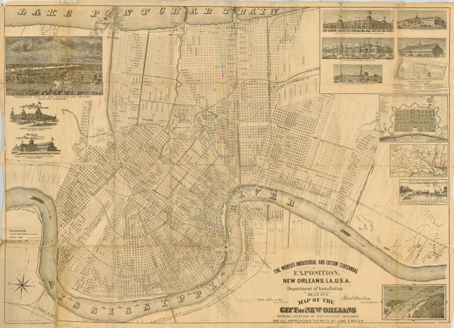
Louisiana, New Orleans  
  Period/Size:  1890 / 26.0" x 36.0"  (66.1 x 91.5 cm)  
  Color:  Black & White  
  Condition:  (B) Covers a little rubbed and scuffed. Map has several rough areas at fold intersections, some with slight loss. Map has been poorly folded and has some soft creases, some rough edges. Neat pencil notes location of docks, steamships, barges along rive (condition help)  
  Source:   
  References:  Rumsey 5324  
 
 
Sales Information
 
  Price: 

Please register your email to view records, or sign in with email address to see records


  Offered by:  Old World Auctions  
  Catalog:  Auction No. 115 - Antique Maps, Charts, Atlases & Globes (568)  
  Lot/Item #:  249  
 
  Date:  06/2006  


Antique Maps - Valuation and Pricing, Descriptions, Resources


Home | Information | Search | Register | Contact Us | Site Map

Americana Exchange, Inc. © 1999 - 2024 Americana Exchange, Inc.. All rights reserved. OldMaps.com, the OldMaps.com logo and
AMPR are service marks or registered service marks of Americana Exchange, Inc..