Title:
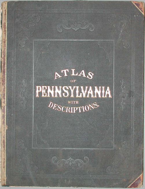
“Atlas of Pennsylvania With Descriptions. Historical, Scientific, & Statistical. Together with a map of the United States and Territories”
Map Maker:
Walling & Gray
Complete folio atlas filled with great, detailed m... (full text available to subscribers)
| Item Detail |
| |
| |
MapMaker: |
Walling & Gray
|
|
| |
| |
Subject: |
Atlases |
|
| |
Period/Size: |
1872 / 17.3" x 14.0" (44.0 x 35.6 cm)
|
|
| |
Color: |
Colored
|
|
| |
Condition: |
(B) Covers loose and spine mostly missing. A hint of water staining at bottom of some pages, most maps very good to fine. One double page map with split and tear. First signature nearly detached. (condition help) |
|
| |
Source: |
|
|
| |
References: |
Phillips (A) #2453; Ristow pp. 429-30 |
|
| |
|
|
| Sales Information |
| |
| |
Price: |
|
|
| |
| |
Offered by: |
Old World Auctions |
|
| |
Catalog: |
Auction No. 115 - Antique Maps, Charts, Atlases & Globes (568) |
|
| |
Lot/Item #: |
799 |
|
| |
| |
Date: |
06/2006
|
|
| |
| |
|
Antique Maps - Valuation and Pricing, Descriptions, Resources |
|
Home |
Information |
Search |
Register |
Contact Us |
Site Map
Americana Exchange, Inc. © 1999 - 2024 Americana Exchange, Inc.. All rights reserved.
OldMaps.com, the OldMaps.com logo and
AMPR are service marks or registered service marks of Americana Exchange, Inc..
|