| Item Detail |
| |
| |
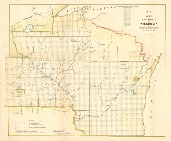
MapMaker: |
U.S. State Surveys
|
|
| |
| |
Subject: |
Wisconsin and Minnesota |
|
| |
Period/Size: |
1856 / 17.8" x 21.5" (45.3 x 54.7 cm)
|
|
| |
Color: |
Colored
|
|
| |
Condition: |
(B) Attractive later color. Faint toning along one fold, which is reinforced on verso with tissue. Margin replaced at binding trim to better accommodate framing. Pencil notation at lower left above references. (condition help) |
|
| |
Source: |
Sen. Doc. #5, 3rd Session 34th Congress |
|
| |
References: |
|
|
| |
|
|
| Sales Information |
| |
| |
Price: |
|
|
| |
| |
Offered by: |
Old World Auctions |
|
| |
Catalog: |
Auction No. 115 - Antique Maps, Charts, Atlases & Globes (568) |
|
| |
Lot/Item #: |
191 |
|
| |
| |
Date: |
06/2006
|
|
| |
| |
|