| Item Detail |
| |
| |
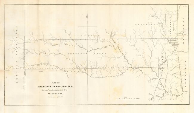
MapMaker: |
Isaac McCoy
|
|
| |
| |
Subject: |
Oklahoma |
|
| |
Period/Size: |
1837 / 10.7" x 19.8" (27.2 x 50.3 cm)
|
|
| |
Color: |
Black & White
|
|
| |
Condition: |
(B) Folding, as issued. On fine paper with full margins, occasional light scattered foxing and short closed split on fold at margin, else fine. (condition help) |
|
| |
Source: |
S. Doc. No. 120, 25th Cong., 2nd Sess. |
|
| |
References: |
Clausen & Friis #188. |
|
| |
|
|
| Sales Information |
| |
| |
Price: |
|
|
| |
| |
Offered by: |
Old World Auctions |
|
| |
Catalog: |
Auction No. 116 - Antique Maps, Charts, Atlases & Globes (578) |
|
| |
Lot/Item #: |
300 |
|
| |
| |
Date: |
09/2006
|
|
| |
| |
|