| Item Detail |
| |
| |
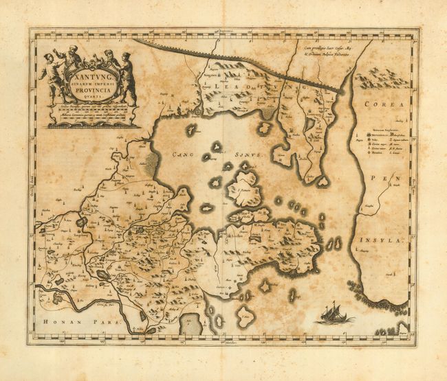
MapMaker: |
Johannes Blaeu
|
|
| |
| |
Subject: |
China |
|
| |
Period/Size: |
1655 / 15.6" x 19.0" (39.7 x 48.3 cm)
|
|
| |
Color: |
Black & White
|
|
| |
Condition: |
(C) Good impression on thick, hand laid paper with wide margins. Paper is still very sound, but with extensive foxing as is common with maps from this atlas. Clean centerfold separation at top just entering border, closed with archival tape. (condition help) |
|
| |
Source: |
Novus Atlas Sinensis |
|
| |
References: |
|
|
| |
|
|
| Sales Information |
| |
| |
Price: |
|
|
| |
| |
Offered by: |
Old World Auctions |
|
| |
Catalog: |
Auction No. 116 - Antique Maps, Charts, Atlases & Globes (578) |
|
| |
Lot/Item #: |
760 |
|
| |
| |
Date: |
09/2006
|
|
| |
| |
|