| Item Detail |
| |
| |
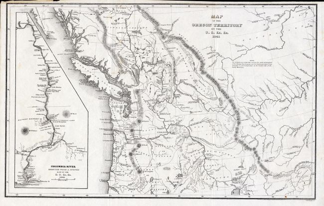
MapMaker: |
Charles Wilkes
|
|
| |
| |
Subject: |
Northwestern United States and Canada |
|
| |
Period/Size: |
1841 / 8.5" x 13.0" (21.6 x 33.1 cm)
|
|
| |
Color: |
Black & White
|
|
| |
Condition: |
(A) Fine example with one tiny spot in lower border. Close trimmed at top, as issued. Issued folding, now pressed and professionally encapsulated in archival Mylar. (condition help) |
|
| |
Source: |
Narrative of the United States Exploring Expeditionģ |
|
| |
References: |
Wheat [TMW] #457. |
|
| |
|
|
| Sales Information |
| |
| |
Price: |
|
|
| |
| |
Offered by: |
Old World Auctions |
|
| |
Catalog: |
Auction No. 116 - Antique Maps, Charts, Atlases & Globes (578) |
|
| |
Lot/Item #: |
117 |
|
| |
| |
Date: |
09/2006
|
|
| |
| |
|