| Item Detail |
| |
| |
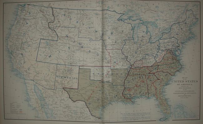
MapMaker: |
U.S. Government
|
|
| |
| |
Subject: |
Atlases, United States, Civil War |
|
| |
Period/Size: |
1894 / 18.5" x 15.5" (47.0 x 39.4 cm)
|
|
| |
Color: |
Colored
|
|
| |
Condition: |
(A) The maps are very good with fine coloring and on generally sound paper. The covers are just a little rubbed with some abrasion to corners and edge of spine. (condition help) |
|
| |
Source: |
|
|
| |
References: |
|
|
| |
|
|
| Sales Information |
| |
| |
Price: |
|
|
| |
| |
Offered by: |
Old World Auctions |
|
| |
Catalog: |
Auction No. 116 - Antique Maps, Charts, Atlases & Globes (578) |
|
| |
Lot/Item #: |
873 |
|
| |
| |
Date: |
09/2006
|
|
| |
| |
|