| Item Detail |
| |
| |
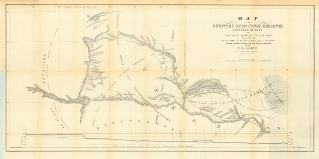
MapMaker: |
Randolph Barnes Marcy
|
|
| |
| |
Subject: |
Texas |
|
| |
Period/Size: |
1853 / 22.0" x 40.0" (55.9 x 101.6 cm)
|
|
| |
Color: |
Black & White
|
|
| |
Condition: |
(A) Very nice example on sound paper with just a little light toning along some folds, still very good. This example is properly encapsulated in archival Mylar. (condition help) |
|
| |
Source: |
Exploration of the Red River of Louisiana in the Year 1852 |
|
| |
References: |
Wagner & Camp #226:1 No. 2. |
|
| |
|
|
| Sales Information |
| |
| |
Price: |
|
|
| |
| |
Offered by: |
Old World Auctions |
|
| |
Catalog: |
Auction No. 116 - Antique Maps, Charts, Atlases & Globes (578) |
|
| |
Lot/Item #: |
319 |
|
| |
| |
Date: |
09/2006
|
|
| |
| |
|