| Item Detail |
| |
| |
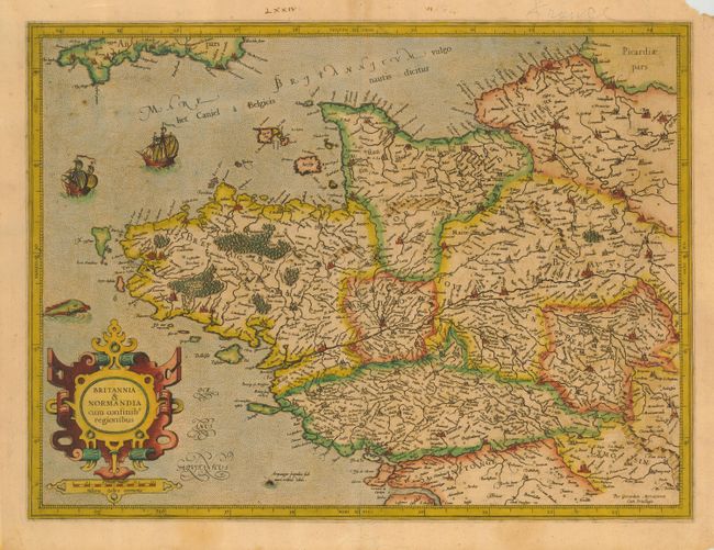
MapMaker: |
Gerard de Cremer Mercator
|
|
| |
| |
Subject: |
France |
|
| |
Period/Size: |
1585 / 14.0" x 18.5" (35.6 x 47.0 cm)
|
|
| |
Color: |
Colored
|
|
| |
Condition: |
(B) Early impression with some printer's ink residue and old color. A few small foxing spots in map. Chipping on paper edges, fold separation in top margin, with upper right corner loss, not affecting map. Ink & pencil notations in upper margin. (condition help) |
|
| |
Source: |
|
|
| |
References: |
|
|
| |
|
|
| Sales Information |
| |
| |
Price: |
|
|
| |
| |
Offered by: |
Old World Auctions |
|
| |
Catalog: |
Auction No. 116 - Antique Maps, Charts, Atlases & Globes (578) |
|
| |
Lot/Item #: |
518 |
|
| |
| |
Date: |
09/2006
|
|
| |
| |
|