| Item Detail |
| |
| |
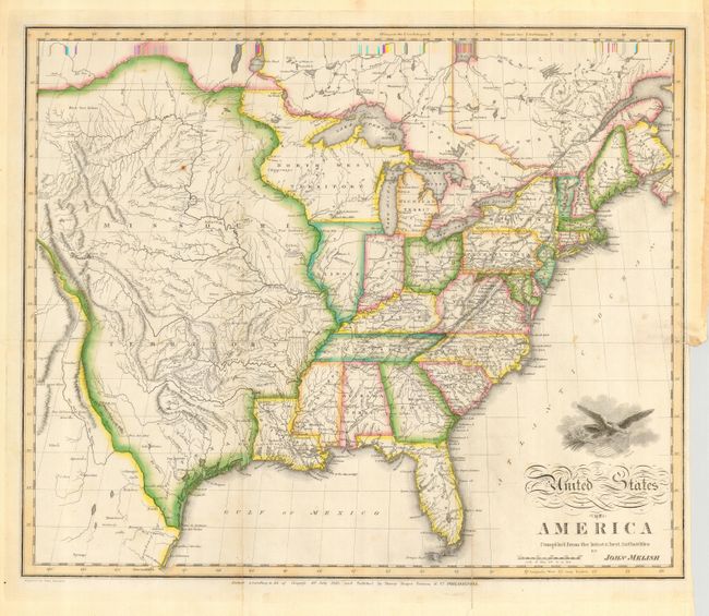
MapMaker: |
John Melish
|
|
| |
| |
Subject: |
Eastern United States |
|
| |
Period/Size: |
1818 / 16.0" x 19.8" (40.7 x 50.3 cm)
|
|
| |
Color: |
Colored
|
|
| |
Condition: |
(B) Very fine original coloring and crisp impression. Issued folding, now flat with some creasing along two folds, one with some minor, repaired cracking near Florida. A few unobtrusive spots in map. (condition help) |
|
| |
Source: |
|
|
| |
References: |
Wheat (TMW) #327. |
|
| |
|
|
| Sales Information |
| |
| |
Price: |
|
|
| |
| |
Offered by: |
Old World Auctions |
|
| |
Catalog: |
Auction No. 116 - Antique Maps, Charts, Atlases & Globes (578) |
|
| |
Lot/Item #: |
135 |
|
| |
| |
Date: |
09/2006
|
|
| |
| |
|