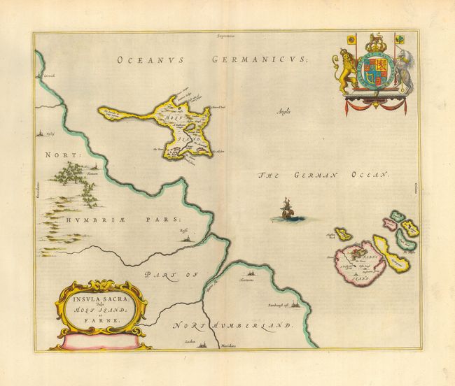
Title:
“Insula Sacra; vulgo Holy Island; et Farne”
Map Maker:
Blaeu [Family]
This attractive map portrays Holy and Farne Island... (full text available to subscribers)
| Item Detail |
| |
| |
MapMaker: |
Blaeu [Family]
|
|
| |
| |
Subject: |
British Islands |
|
| |
Period/Size: |
1645 / 15.2" x 18.5" (38.6 x 47.0 cm)
|
|
| |
Color: |
Colored
|
|
| |
Condition: |
(A) A near fine example with dark impression (with light printer's ink residue) and fine coloring. Printed on thick hand laid paper with huge margins. Apparent centerfold toning is show though of backstrap. (condition help) |
|
| |
Source: |
|
|
| |
References: |
Van der Krogt (Atlantes) 5770:2. |
|
| |
|
|
| Sales Information |
| |
| |
Price: |
|
|
| |
| |
Offered by: |
Old World Auctions |
|
| |
Catalog: |
Auction No. 116 - Antique Maps, Charts, Atlases & Globes (578) |
|
| |
Lot/Item #: |
428 |
|
| |
| |
Date: |
09/2006
|
|
| |
| |
|
Antique Maps - Valuation and Pricing, Descriptions, Resources |
|
Home |
Information |
Search |
Register |
Contact Us |
Site Map
Americana Exchange, Inc. © 1999 - 2024 Americana Exchange, Inc.. All rights reserved.
OldMaps.com, the OldMaps.com logo and
AMPR are service marks or registered service marks of Americana Exchange, Inc..
|