| Item Detail |
| |
| |
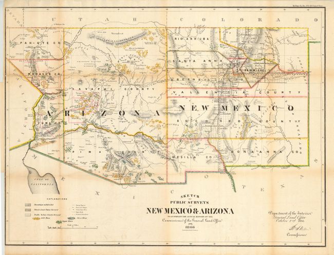
MapMaker: |
General Land Office
|
|
| |
| |
Subject: |
Southwestern United States, New Mexico, Arizona |
|
| |
Period/Size: |
1866 / 28.0" x 20.8" (71.2 x 52.9 cm)
|
|
| |
Color: |
Colored
|
|
| |
Condition: |
(B) Issued folding, now pressed with some archival tape on verso to support folds and close splits. Toned along some folds. Short tear at margin and a small, closed puncture near Yuma. (condition help) |
|
| |
Source: |
H.R. Doc No.1, 37th Congress, 3rd Session |
|
| |
References: |
|
|
| |
|
|
| Sales Information |
| |
| |
Price: |
|
|
| |
| |
Offered by: |
Old World Auctions |
|
| |
Catalog: |
Auction No. 116 - Antique Maps, Charts, Atlases & Globes (578) |
|
| |
Lot/Item #: |
221 |
|
| |
| |
Date: |
09/2006
|
|
| |
| |
|