| Item Detail |
| |
| |
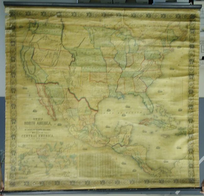
MapMaker: |
Jacob Monk
|
|
| |
| |
Subject: |
United States & Mexico |
|
| |
Period/Size: |
1854 / 55.8" x 59.0" (141.8 x 149.9 cm)
|
|
| |
Color: |
Colored
|
|
| |
Condition: |
(A) Very nice color, clean and bright example. A little light water staining along right edge, and some from top into Wisconsin. Some roughness along upper left edge with very slight loss to border. Hint of old adhesive at bottom just above border. (condition help) |
|
| |
Source: |
|
|
| |
References: |
Wheat (TMW) #794; Wheat (GOLD) 243; Rumsey #602. |
|
| |
|
|
| Sales Information |
| |
| |
Price: |
|
|
| |
| |
Offered by: |
Old World Auctions |
|
| |
Catalog: |
Auction No. 116 - Antique Maps, Charts, Atlases & Globes (578) |
|
| |
Lot/Item #: |
349 |
|
| |
| |
Date: |
09/2006
|
|
| |
| |
|