| Item Detail |
| |
| |
MapMaker: |
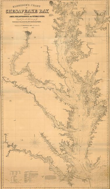
George Eldridge
|
|
| |
| |
Subject: |
United States - Mid-Atlantic |
|
| |
Period/Size: |
1898 / 56.5" x 32.5" (143.6 x 82.6 cm)
|
|
| |
Color: |
Black & White
|
|
| |
Condition: |
(B) Nice example with a little foxing at bottom, slight paper loss near Smith's Point, and some staining at upper left margin. A little roughness at edge upper right, tear into map at top, else very good. (condition help) |
|
| |
Source: |
|
|
| |
References: |
|
|
| |
|
|
| Sales Information |
| |
| |
Price: |
|
|
| |
| |
Offered by: |
Old World Auctions |
|
| |
Catalog: |
Auction No. 117 - Antique Maps, Charts, Atlases & Globes (579) |
|
| |
Lot/Item #: |
160 |
|
| |
| |
Date: |
12/2006
|
|
| |
| |
|