| Item Detail |
| |
| |
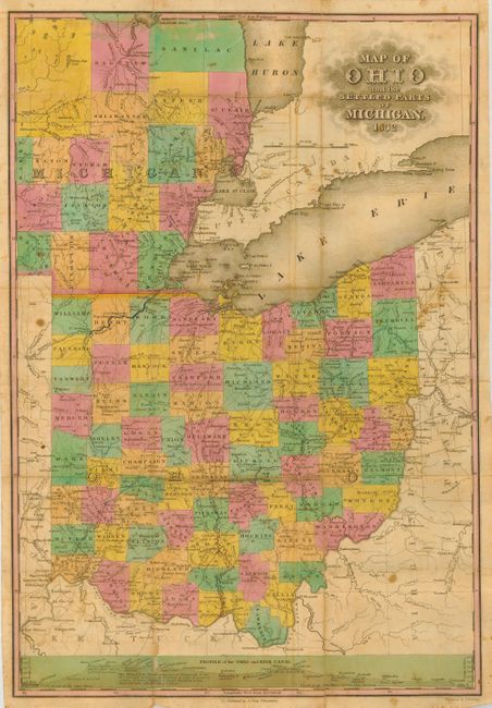
MapMaker: |
Anthony Finley
|
|
| |
| |
Subject: |
Central United States - Ohio and Michigan |
|
| |
Period/Size: |
1832 / 18.5" x 12.7" (47.0 x 32.3 cm)
|
|
| |
Color: |
Colored
|
|
| |
Condition: |
(B) Generally very good for this type of map with original hand coloring. Some separation at folds, as is common with this type of maps. The separations are reinforced on the verso with archival tape. A couple of stains and spots of foxing. Covers wit (condition help) |
|
| |
Source: |
|
|
| |
References: |
|
|
| |
|
|
| Sales Information |
| |
| |
Price: |
|
|
| |
| |
Offered by: |
Old World Auctions |
|
| |
Catalog: |
Auction No. 117 - Antique Maps, Charts, Atlases & Globes (579) |
|
| |
Lot/Item #: |
184 |
|
| |
| |
Date: |
12/2006
|
|
| |
| |
|